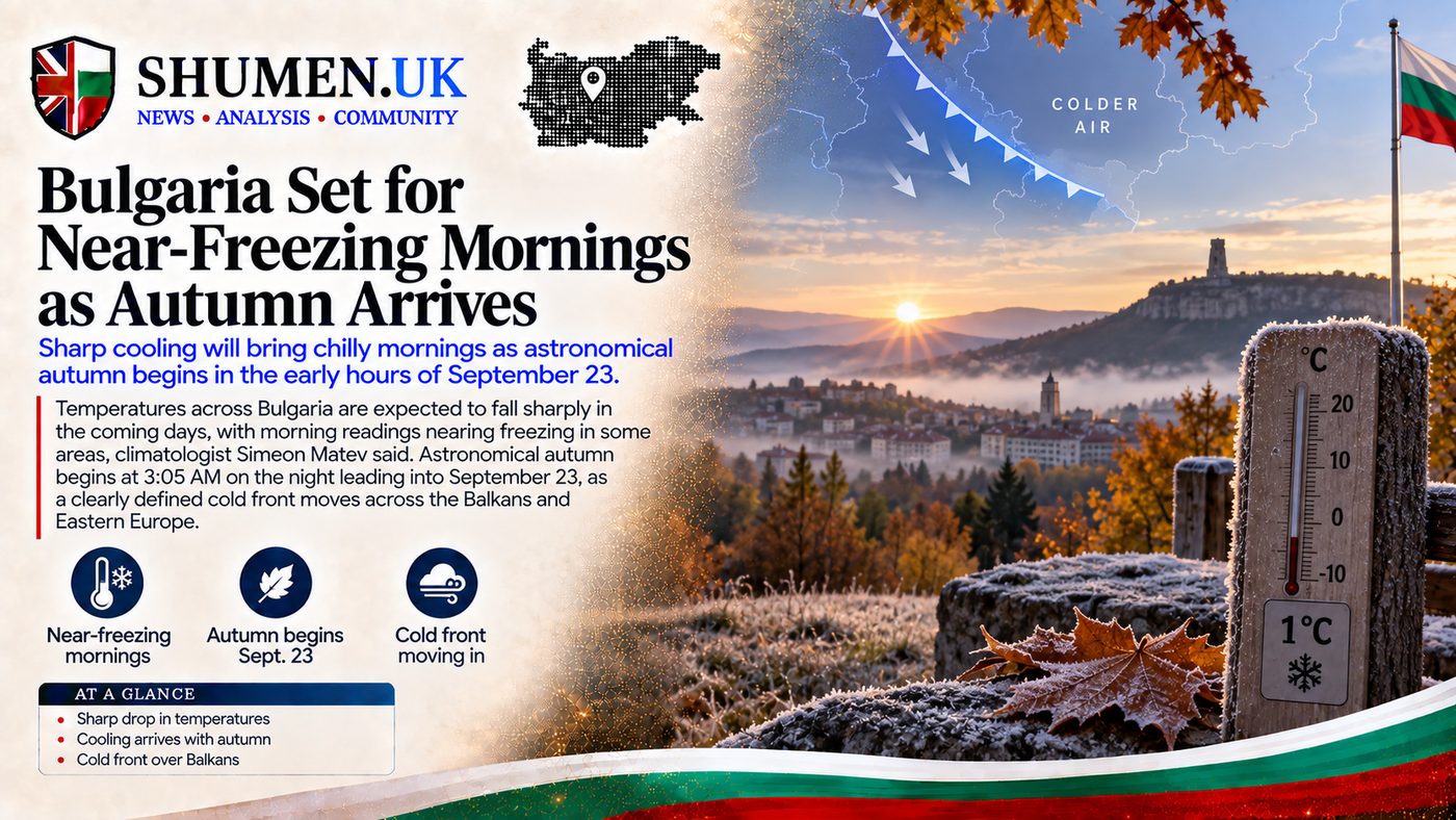
Morning temperatures across Bulgaria will fall close to freezing by the end of this week, with the sharpest cold expected on Thursday 24 September, climatologist Simeon Matev told bTV. Lows of zero to four degrees are forecast in valleys and in areas close to the mountains, enough to bring the first frost of the season to parts of the country.
The timing is almost too neat to be believed. Astronomical autumn begins at 3:05am on the night into Wednesday 23 September (00:05 UTC), and the cold front arrives with it. "We are bidding farewell to the brighter part of the year and welcoming the darker season, along with the drop in temperatures," Matev said. "This year, the cooling arrives right on this day, and it is quite pronounced."
The mechanism is a sharply defined cold front, pushing down over the region and dragging polar air in behind it. Winds pick up on Tuesday and Wednesday, which adds to the chill without doing much else. It is what happens next that matters: as the cloud thins and the wind drops on Wednesday night, the heat escapes, and Thursday morning becomes the cold one.
Thursday Morning Is the One to Watch
The band Matev singles out for the worst of it is 200 to 400 metres up, in valleys and on ground sitting close to the mountains. That is a narrow-sounding band that happens to cover an enormous amount of the country, including a good deal of the inland village property British expats tend to buy.
It is worth knowing where you sit in it. Shumen itself is at 184 metres, a shade below the band Matev flags. The villages scattered up on the plateau behind the city are above it, and so are most of the settlements tucked into the folds of the Balkan range further south. A fifteen minute drive can be the difference between a cold morning and a white one.
The first woodsmoke of the season normally beats the first frost in the villages above Shumen by a week or so. This year the two look like arriving together.
The Drop Is Sharp, But It Is Short
Matev's number is this: across Southeast Europe, the next two or three days will run five to six degrees under what late September normally delivers.
Severe Weather Europe, tracking the same polar air mass, put it a different way on 21 September, describing daytime highs across the affected regions falling by 10 to 15 degrees Celsius compared to recent seasonal averages. The two figures are not in conflict, and it is worth being clear why: Matev is measuring how far below normal we land, while the second measures how far we fall from the unusually warm readings of the past fortnight. A big drop from a warm base can still leave you only moderately below the average for late September.
The same forecasters expect the first morning frost to run in a belt "from the Baltic countries down to the central Balkans, reaching Romania and Bulgaria", with the first notable high-altitude snowfalls of the autumn on the Carpathians and possibly the northern Balkan mountains.
Then it goes away again. Matev expects the recovery to begin late in the week, with readings settling back where they usually sit at this point in September. A second decline is forecast for the start of next week, this one arriving from the northeast rather than the northwest, and Matev expects it to be pronounced too.
Why Your Radiators Are Still Off
Here is the part the forecast does not spell out, and the part that generates the most confused questions every autumn: a cold snap does not turn the heating on.
District heating does not switch on because a single morning is cold. It runs to a threshold. Toplofikatsia Sofia's published rule requires three consecutive days with an average daily temperature below 12 degrees, plus a forecast from NIMH-BAS for sustained cold, before the mass start of the heating season, and the same page puts the operator's obligation to supply heat at all between 1 October and 30 April. A two or three day dip that reverses by Friday does not come close to satisfying that trigger, however sharp it feels at 6am on Thursday.
One caveat on scope, because it matters if you are not in the capital. That is Sofia's operator setting out its own practice, and the page names no national ordinance. If you are on district heating in Plovdiv, Ruse or Varna, the principle is the one to take away, a sustained cold spell rather than one frosty morning, but check your own supplier's published terms for the exact threshold it works to.
There is an exception worth knowing if you own in a block. Residents of a condominium can apply to have heating started ahead of the general switch-on, by submitting an application together with a decision of the general assembly, backed by owners holding at least two thirds of the property in the building. In practice that means a conversation with your neighbours rather than a call to the utility. Our utilities guide covers how the billing works once the season does begin.
For everyone outside the district heating network, which is most people in a village house, none of this applies and the answer is simply the stove.
What Is Actually Worth Doing This Week
The practical consequences of a single frosty morning are small, but they are not zero.
- Anything still on the plant is at risk. Tomatoes, peppers and basil do not survive a frost. If Thursday morning lands at the bottom of Matev's range where you are, Wednesday evening is the time to pick what is left or cover it.
- Check the stove before you need it, not after. The first genuinely cold week is a bad time to discover the flue needs sweeping or the pellet hopper has seized. Our village house guide covers the autumn checks that matter on older rural properties.
- Winter tyres are not yet a legal requirement, but the clock has started. In Bulgaria the requirement runs from 15 November to 1 March, and vehicles must have tyres designed for winter conditions or a tread depth of at least four millimetres. That is still some weeks off, and it applies to foreign-registered vehicles too. A frost on the 24th is a useful prompt to look at your tread while the tyre places are quiet. The winter survival guide has the rest of the seasonal list.
The Rain That Is Not Coming
The cold is arriving without the rain that would normally come with it. Roughly 80 percent of the models carry no meaningful rain for the country over the days ahead, Matev said. "We are in a precipitation-free pocket," he said of the European rainfall maps. A little isolated rainfall may reach the southeast and the central Danube Plain. Beyond that, close to nothing.
That is a problem for somebody, and it is not the expat with a garden. Matev called it an unhelpful outlook for farmers who need rain to soften the ground before autumn sowing. Dry and cold is the least useful pairing late September can offer anyone trying to get a crop in.
In Veliko Tarnovo, where Bulgaria's independence was proclaimed on this date in 1908 and where the Independence Day celebrations are held each 22 September, the chance of rain is minimal. The wind will make it feel a good deal colder than the numbers suggest.
A Cold Snap in a Warm Month
None of this makes September cold. Matev still expects the month to close warmer than the climatic norm, purely on the strength of how it began.
The wider context he offered is a useful corrective to the assumption that every summer now breaks a record. Bulgaria's summer was comparatively unremarkable. June and July held close to normal, and although August ran significantly hotter, with Matev placing Sofia's August as its second warmest in 140 years, the coast barely moved: Varna and Burgas finished their summer averages a matter of tenths of a degree above normal. The bigger anomalies sat inland, across the centre-north and the west of the country.
Western Europe had a different summer altogether, with Matev citing five separate heatwaves and a season that ranks among the hottest recorded there. Bulgaria, for once, sat out the worst of it.
Which is the honest note to end on. The country has four real seasons and they arrive on schedule. This week the schedule is simply being kept unusually precisely.